Planetary Research / Atmospheric Science
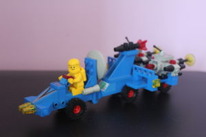
- Brings mapping and research drones to different locations
- Drones are used to
- Digital map surface within a given area
- Collect atmospheric samples on a given path
- Drones are programmed and operated from the computer
- Dish is maintaining the TM/TC and Coms link to the Drone for the operator

